CNES Land Cover Map
Short description
The CNES Land Cover Map (Occupation des Sols, OSO) produces land classification for Metropolitan France at 10 m spatial resolution based on Sentinel-2 L2A data within the Theia Land Cover CES framework. Maps for 2020, 2019, and 2018 use a 23-categories nomenclature. For earlier maps in 2017 and 2016, a fully compatible 17-classes nomenclature is employed.
The CNES Land Cover product contains 3 bands. The
OCS band contains main classification data with class values ranging from 1 to 23. The Land Cover nomenclature and colouring scheme is shown below.The other 2 bands are
OCS_Confidence and
OCS_Validity. The
OCS_Confidence band provides the information on the classifier confidence with values ranging from 1 to 100. The
OCS_Validity band indicates the number of cloudless images.
CNES Land Cover nomenclature and colouring scheme
| Value |
Color |
Color Code |
Label |
| 1 |
|
#ff00ff |
Dense built-up area |
| 2 |
|
#ff55ff |
Diffuse built-up area |
| 3 |
|
#ffaaff |
Industrial and commercial areas |
| 4 |
|
#00ffff |
Roads |
| 5 |
|
#ffff00 |
Oilseeds (Rapeseed) |
| 6 |
|
#d0ff00 |
Straw cereals (Wheat, Triticale, Barley) |
| 7 |
|
#a1d600 |
Protein crops (Beans / Peas) |
| 8 |
|
#ffab44 |
Soy |
| 9 |
|
#d6d600 |
Sunflower |
| 10 |
|
#ff5500 |
Corn |
| 11 |
|
#c5ffff |
Rice |
| 12 |
|
#aaaa61 |
Tubers/roots |
| 13 |
|
#aaaa00 |
Grasslands |
| 14 |
|
#aaaaff |
Orchards and fruit growing |
| 15 |
|
#550000 |
Vineyards |
| 16 |
|
#009c00 |
Hardwood forest |
| 17 |
|
#003200 |
Softwood forest |
| 18 |
|
#aaff00 |
Natural grasslands and pastures |
| 19 |
|
#55aa7f |
Woody moorlands |
| 20 |
|
#ff0000 |
Natural mineral surfaces |
| 21 |
|
#ffb802 |
Beaches and dunes |
| 22 |
|
#bebebe |
Glaciers and eternal snows |
| 23 |
|
#0000ff |
Water |
CNES Land Cover classifier confidence colouring scheme
| Value |
Color |
Color Code |
Label |
| 1 |
|
#000000 |
1% confidence |
| 100 |
|
#00c800 |
100% confidence |
CNES Land Cover validity colouring scheme
| Value |
Color |
Color Code |
Label |
| 1 |
|
#000000 |
1 cloudless image |
| 45 |
|
#e60000 |
45 cloudless images |
All data originated from Theia and can be downloaded via their
website.
Representative Images
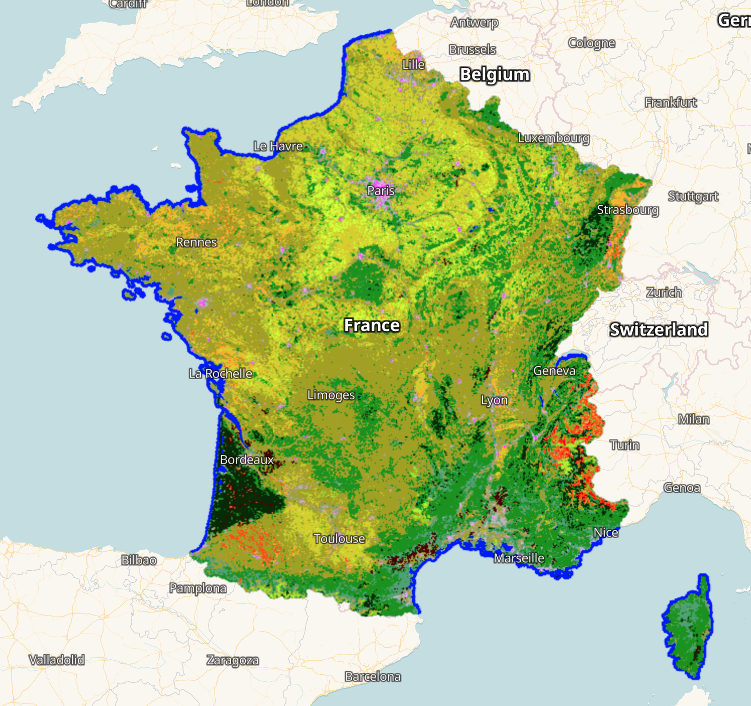 CNES Land Cover 2020 for France visualised in EO Browser.
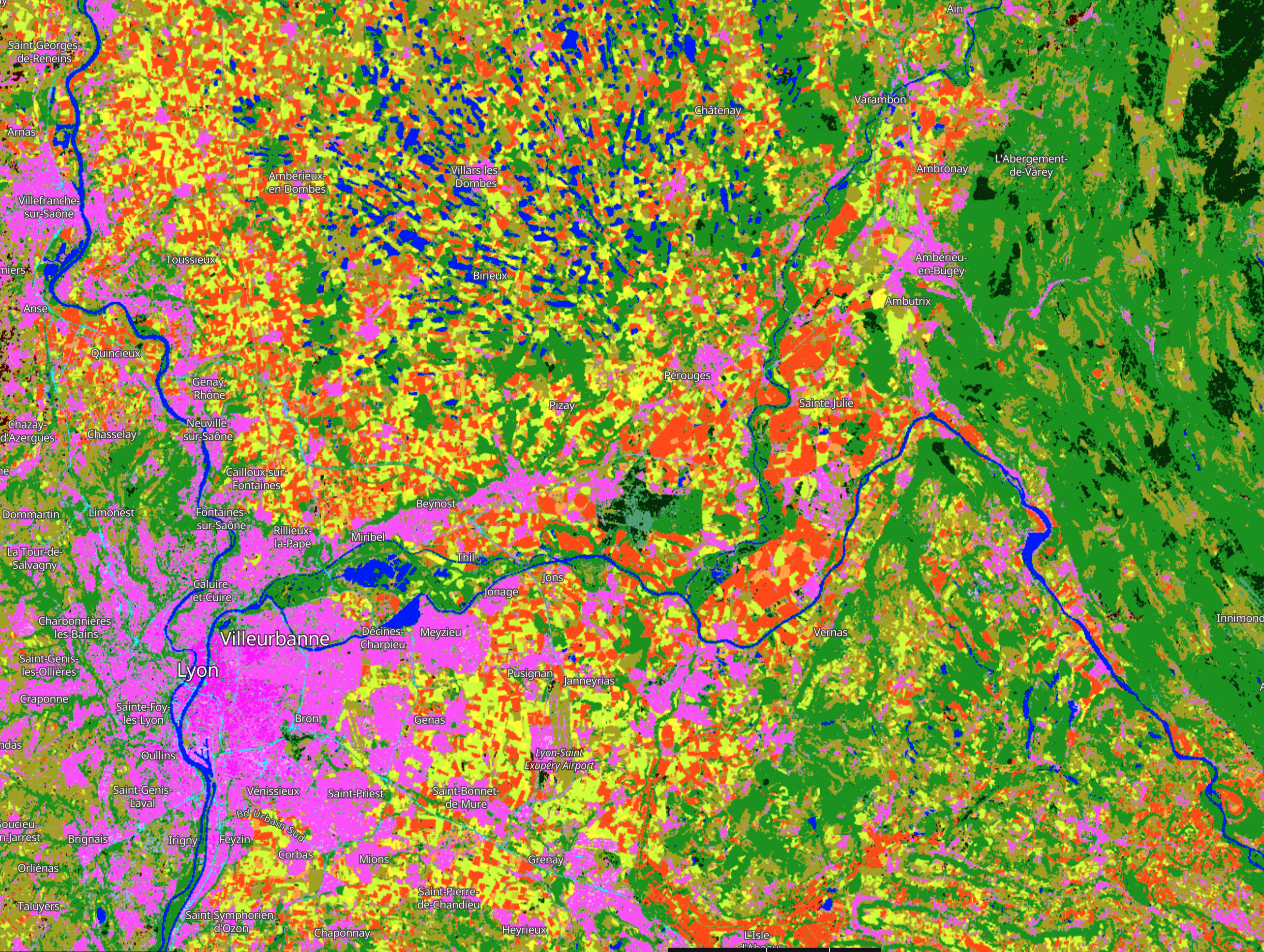 CNES Land Cover 2020 around Lyon visualised in EO Browser
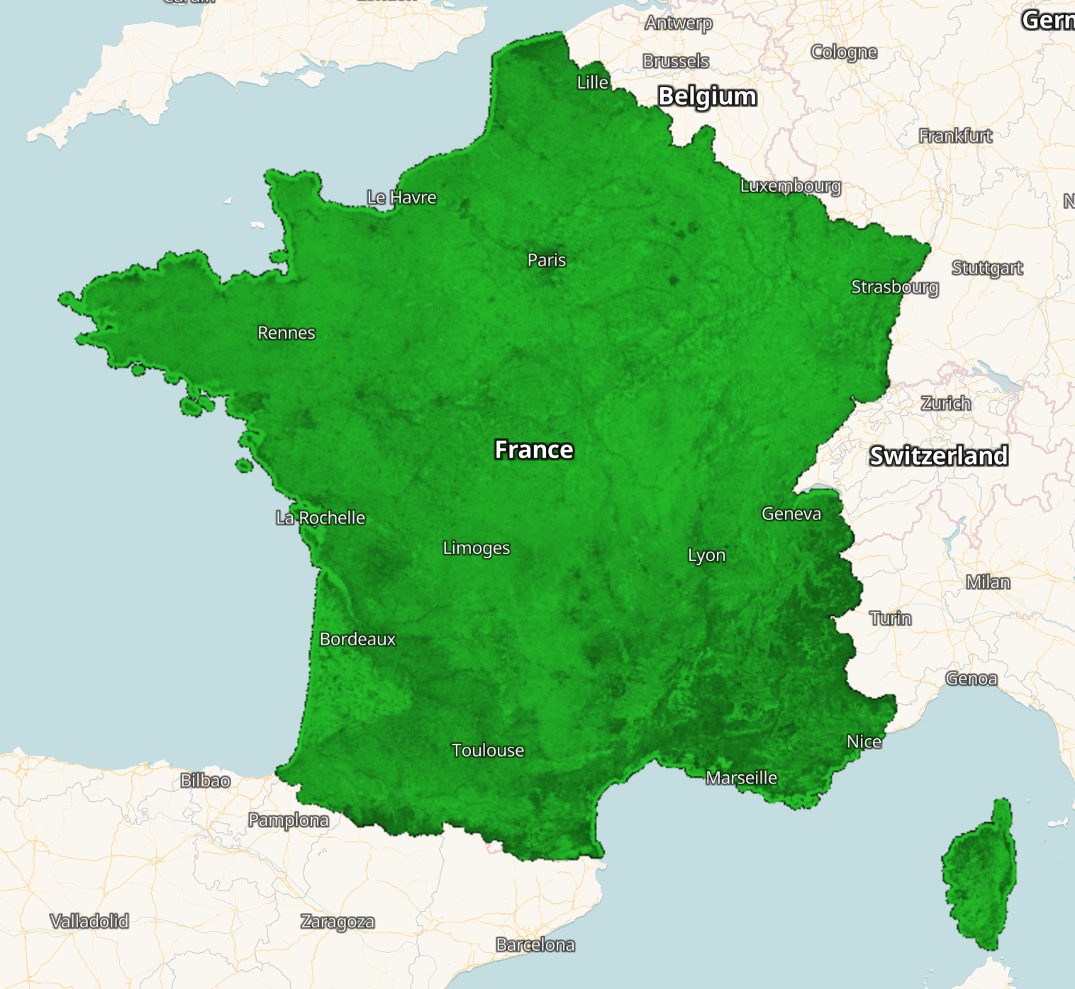 CNES Land Cover classifier confidence 2020 for France visualised in EO Browser.
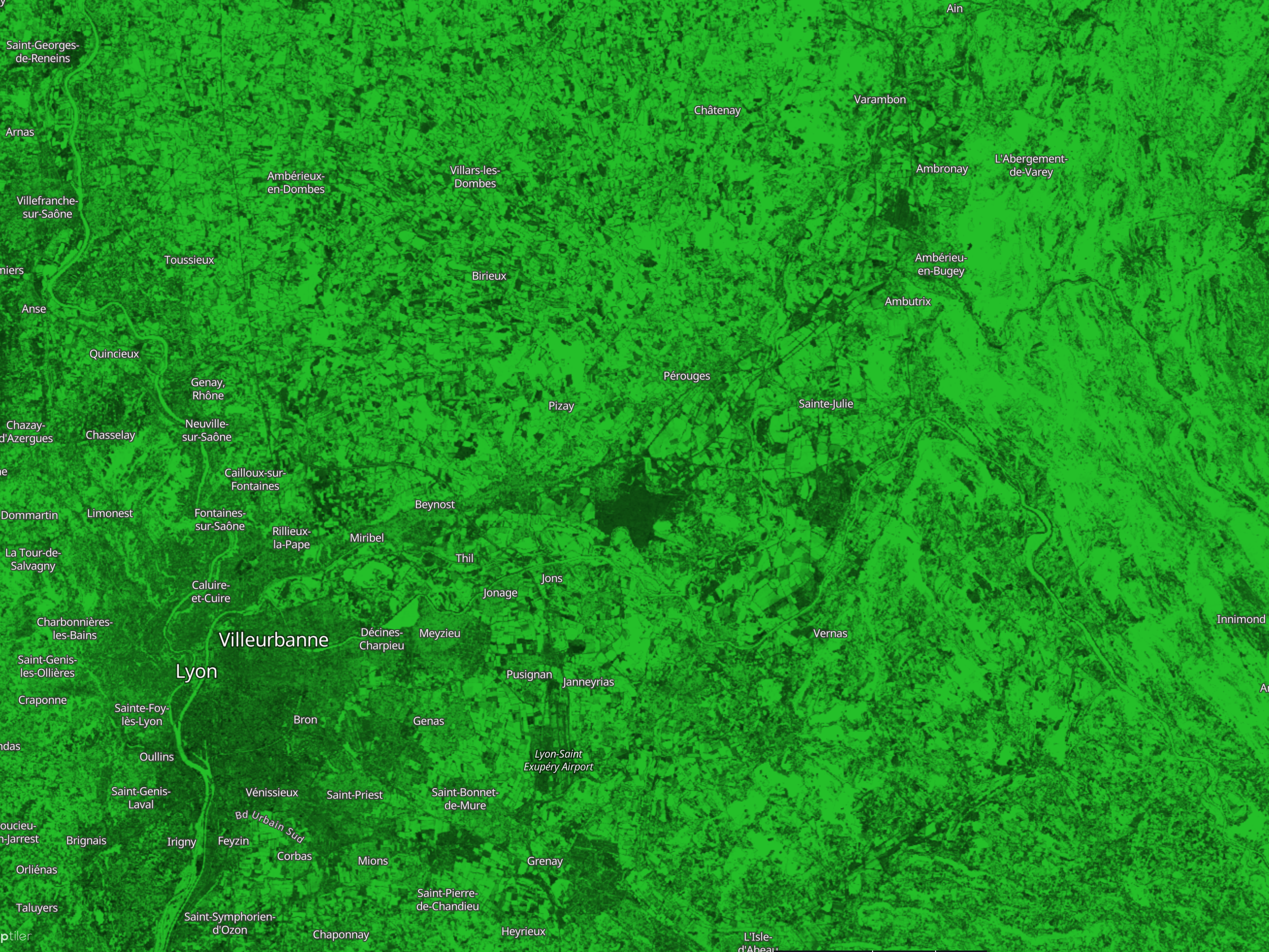 CNES Land Cover classifier confidence 2020 around Lyon visualised in EO Browser
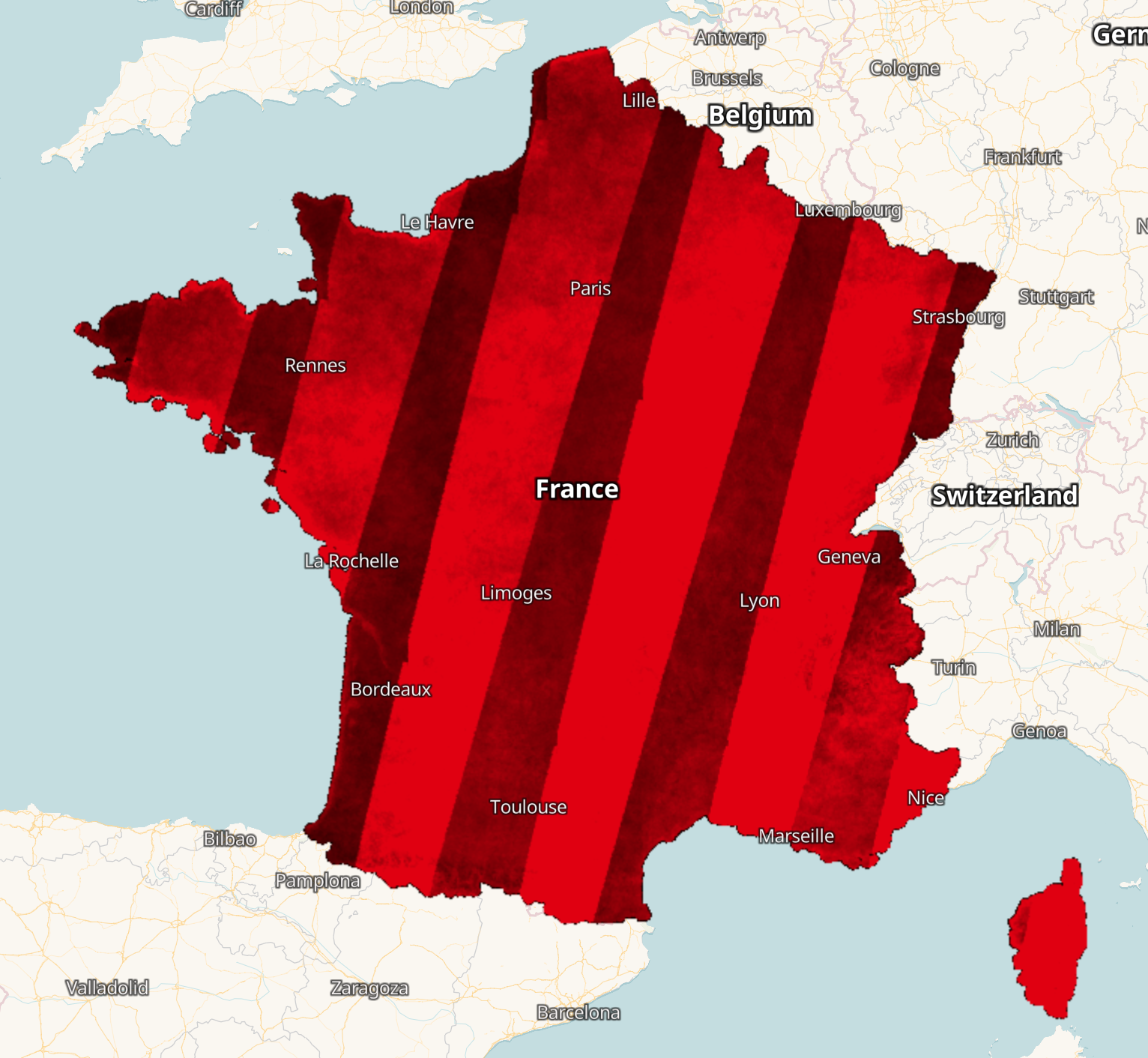 CNES Land Cover validity 2020 for France visualised in EO Browser.
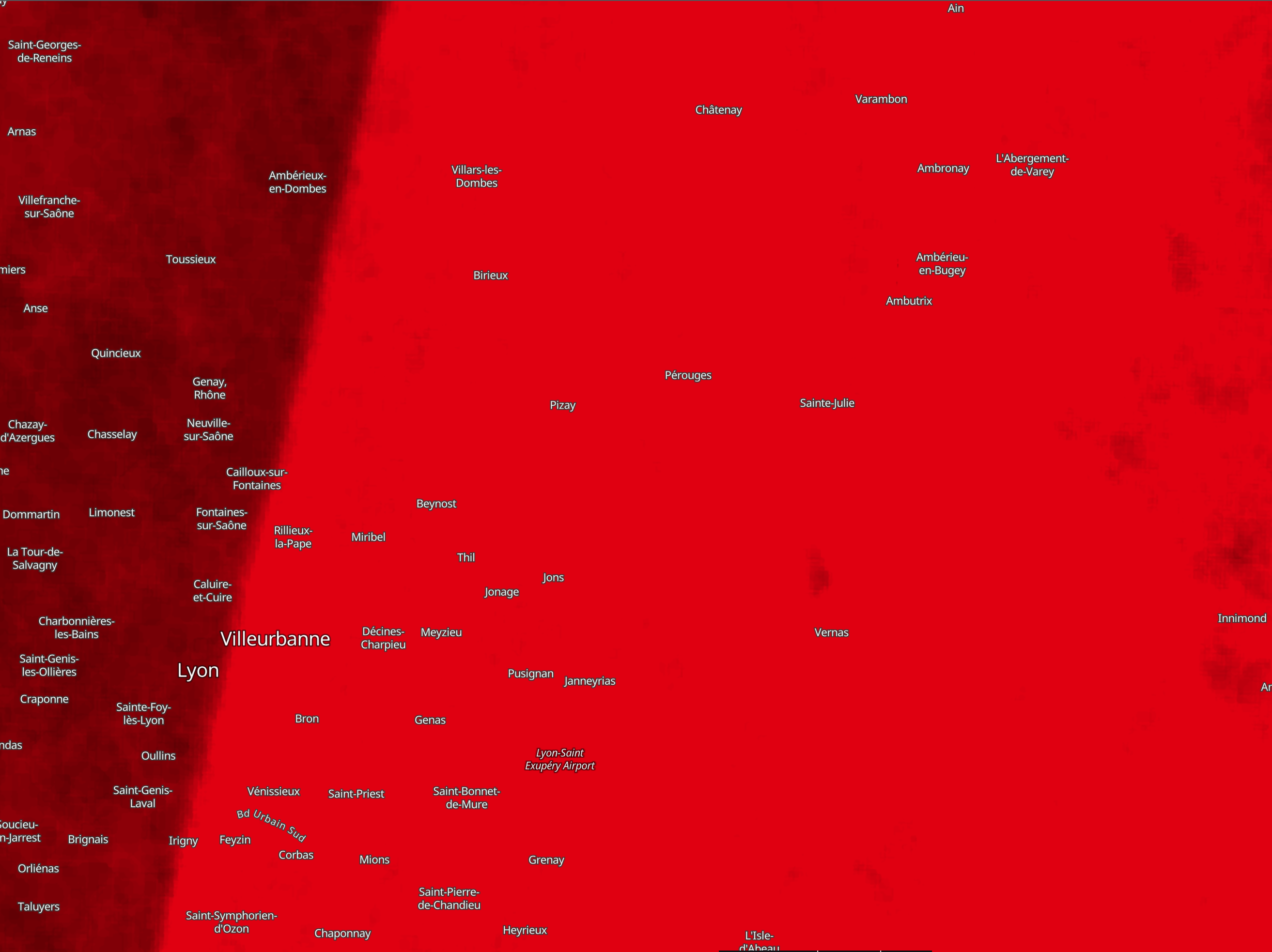 CNES Land Cover validity 2020 around Lyon visualised in EO Browser
Acknowledgements
Ingestion of this dataset into public collection on Sentinel Hub was done with support of the European Union’s Horizon 2020 research and innovation programme under Grant Agreement No. 101004112.
 CNES Land Cover 2020 for France visualised in EO Browser.
 CNES Land Cover 2020 around Lyon visualised in EO Browser
 CNES Land Cover classifier confidence 2020 for France visualised in EO Browser.
 CNES Land Cover classifier confidence 2020 around Lyon visualised in EO Browser
 CNES Land Cover validity 2020 for France visualised in EO Browser.
 CNES Land Cover validity 2020 around Lyon visualised in EO Browser